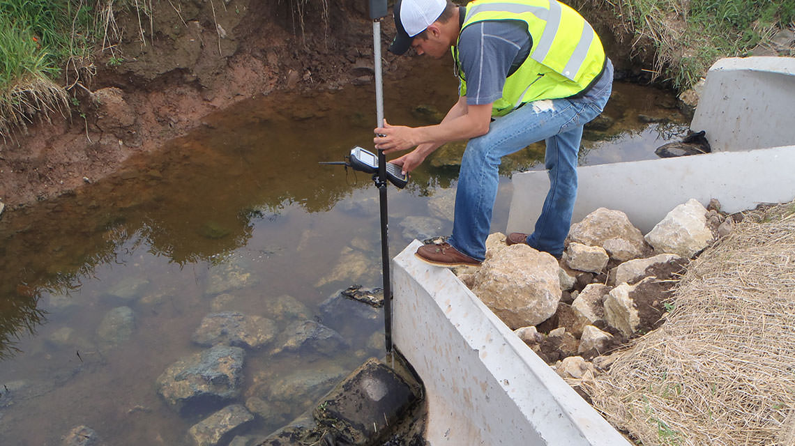
USH 10, Neillsville to Marshfield.
Jordan Brost, Division Leader of Boundary & Topographic Survey / Mapping, drives the legal boundary and topographic survey and mapping division. Jordan’s expansive amount of experience, licensure in WI as a Professional Land Surveyor, and knowledge of Topographic Surveys, Boundary Retracement Surveys, CSM’s, ALTA/ASCM, and Subdivision Plats makes him a key aspect to the Survey Department.
Services
- ALTA/NSPS Land Title Surveys
- Boundary Surveys
- Certified Survey Maps / Land Division
- Property and Easement Legal Descriptions
- FEMA Elevation Certificates
- GPS Control Surveys
- Site Plans
- As-Built Surveys
- Subdivision Plats
- Condominium Plats
- Topographic Surveys
- Wetland Mapping

